Hello everyone, and happy last day of 2013!
We have a cold New Years Eve/Day in store this year with temps rising only into the low teens or single digits during the day and falling well below zero at night. Clear and cold conditions will dominate today’s weather while clouds associated with our next storm system will begin to arrive Wednesday.
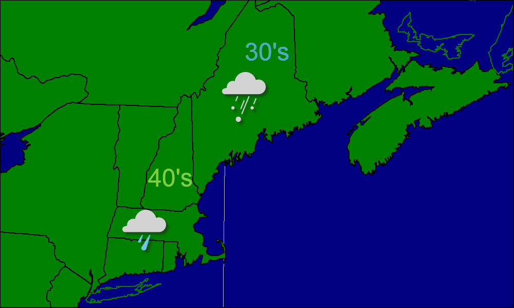
Snow begins early Thursday morning and likely lasts through Friday midday. Snowfall will be light Thursday before becoming heavier Thursday night and lightening up again Friday morning. I expect the heavy snows to affect primarily MA, RI, and parts of CT. This one will be for our friends in southern New England. Snow will move out Friday from W to E leaving close to a foot on the ground in parts of SE MA while most of the rest of Southern New England gets closer to 8 or 10″. The exception to that will be over SW CT where less liquid will fall thus less snow so I left them in the 3-6″ range though 6″ is more likely than 3. Across Northern New England, Southern Maine and New Hampshire get the “jackpot” for this one with 3-6″ heaviest along the coast. Down east and the foothills get 1-3″ while the mountains completely miss it getting only flurries. The snowfall map is below.

After this storm, one more shot of arctic air rolls in for Saturday before warming into the 20’s Sunday. The next chance for snow or mixed precip will arrive Sunday into Monday.
-Jack