Hello everyone!
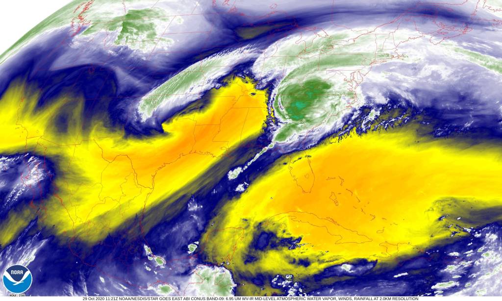
With the remnants of Zeta now racing off into the open Atlantic, we’ll be dealing with the fringes of the winter storm trailing the hurricane remnants this morning. That storm is moving east-northeast away from the Delmarva as I write this around 5 AM. That means we’re on the northern edge of the system so heavy precipitation (rain or snow) is not expected. We do have some light radar returns to keep an eye on, mostly over southern and western NH. That’s where the best odds of precip will be this morning.

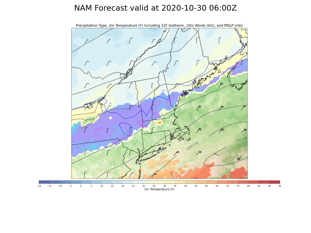
This map shows forecast precipitation and type at 8 AM. Southern NH should be seeing fairly steady snow at this point while flurries attempt to push north into central NH and far southwestern ME. In spots that do see an hour or two of snow, a coating to maybe 1″ of accumulation is possible. For the rest of us, a stray flake here or there is all we’ll get.

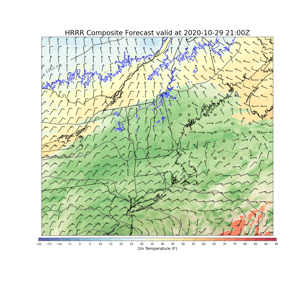
By noon, the storm will be pulling away and snow will be tapering off even over southern NH. That said, northeast winds will keep pulling cold air into the region so even as a few breaks of sun develop in the wake of the storm this afternoon, temps won’t be able to rise much today. Look for highs ranging from around 30 in the mountains to around 40 right along the coast.
We can finally welcome the sun back tomorrow as high pressure passes overhead.
-Jack


