If you’re looking for a beautiful fall day, with cool temperatures, low humidity, and a nice northerly breeze, today checks all those boxes. A cold front moved through this time yesterday, and we’ve been left with picture perfect weather in its wake. High temps today will range from 55 in the north to 65 in the south, with a breezy NW wind. Skies will be sunny and dry today as high pressure builds in.
Links are to additional information provided by weather.us.
It is with great joy that I can report the impending liberation of the Western Maine and New Hampshire area. Freedom is arriving from the northwest tonight, and will be in our area by morning as a cold front delivers us from the tyranny of 70 degree dew points and 90+ degree high temperatures!
High temperatures will return to seasonably wonderful levels, ranging from the low 60’s in the north to the mid 70’s along the coast. More importantly, dew points will plummet into the upper 30’s/lower 40’s as the humid air of the past several weeks is scoured out.
Yesterday’s weather was awful through and through. Today’s weather will be slightly less atrocious, though still far from what we’d expect for September 26th. High temps will range from near 90 inland to around 80 at the coast, where a sea breeze will bring some semblance of order to the situation. Fog is dense this morning, but it will burn off by the afternoon hours leaving clear skies. As with yesterday, the area will remain dry except for some pop up showers in the mountains.
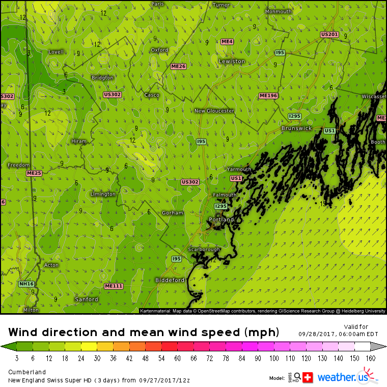
Links are to additional information provided by weather.us.
Links are to additional information, courtesy of weather.us.
If you want to leave a comment expressing warm feelings for this heat, feel free to join the NYA XC team for interval training this afternoon before doing so. You will see your love of heat ripped right out of you, along with your lunch.
The atmosphere appears to be a bit confused today as fall-like temperatures from the past couple of weeks give way to summer heat. Temperatures will rise into the upper 80’s or low 90’s for most today with slightly cooler temps in the low 80’s both in the far north and along the immediate coastline where a sea breeze will develop this afternoon. Sunny skies will be part of the fuel for the heat as little to no cloud cover is expected. There’s a slight chance of a late afternoon shower or thunderstorm in the far north where a very weak boundary will be located. Otherwise, dry conditions are expected across the area.
Links are to additional information provided by weather.us.
Today will feature warmer weather as Jose drifts farther offshore and high pressure moves in from the west. Highs will rise into the mid 80’s across the coastal plain and foothills, with the immediate coast and northern areas both seeing cooler temps right around 80. Skies will be sunnier than today as Jose’s moisture is replaced by drier air from Canada. No precipitation is expected.
Links are to additional information provided by weather.us.
After several days dominated by cloudy skies, sunshine will make a return today as Jose continues to weaken and move east. Highs will rise into the 70’s across the region as the warm sunshine is counteracted by slightly cooler air moving in from Canada on breezy N/NE winds. No precipitation is expected as drier air moves into the area.
Links are to additional information provided by weather.us.