Today will feature morning sun fading to afternoon clouds as some moisture wrapping around a low to our south tries to work in. SW areas will see the most clouds while NE areas could hold onto sun into this afternoon. The difference in cloud cover will explain the difference in high temps with the warmest weather in the north today featuring highs around 65. Southern NH, under the most clouds, will see highs around 60. The rest of the area will be between 60 and 65. Some rain will likely start falling from the clouds this afternoon but due to lots of low/mid level dry air, not a whole lot of it will make it to the ground. Still, don’t be shocked to feel a few drops here or there in southern areas this afternoon into this evening.
Today will feature a mix of sun and clouds for sky cover as temps once again struggle to reach 60. The balance of sun and clouds will favor more sun than clouds in the mountains and more clouds than sun along the coast. NE breezes will be responsible, bringing authentically dry air to the mountains while gathering some ocean moisture along the coast. Highs will be fairly uniform throughout the region today, a few degrees on either side of 60.
Today will feature mainly cloudy skies, cooler temps, and the slight chance for a rain shower this morning. Radar is showing some showers over the mountains and foothills that appear to be associated with a pocket of moisture at about 2500 feet (925mb). Otherwise, strong Canadian high pressure will build in from the north providing dry N/NE flow at the surface. Aloft, SW winds will transport enough moisture into the region to keep skies mainly cloudy though some sun is a possibility especially NE. Highs under the clouds and NE flow will be cool, with temps in the mid to upper 50’s north and upper 50’s to low 60’s south.
Showers are currently moving through the area and will drop a quick but beneficial tenth-quarter inch of water as they truck along to the NE. Drier weather is in store for this afternoon and evening and some partial sun is likely to break out across the western half of the area. Highs will be much warmer than recent days with temps rising into the mid to upper 60’s north and upper 60’s to low 70’s south.
HRRR Showing How Showers Quickly Race East Today. Credit: Weatherbell
Today will feature mainly sunny skies, cool temps, and lighter NW breezes. Look for a very chilly start with nearly everyone below 40 as of 6 AM. Areas away from the immediate coast are likely to see frost and the mountains are likely to see a hard freeze. Temps will rise into the mid to upper 50’s north and low to mid 60’s south. Skies will be mainly sunny but a few high clouds are possible in the afternoon as a front to our west slowly moves in our direction. Winds will be much quieter than yesterday as high pressure settles in directly overhead.
Today will feature mainly sunny skies, breezy NW winds, and cool temps as low pressure develops to our NE. Look for highs in the low to mid 50’s north and upper 50’s to lower 60’s south. Some upslope clouds are likely in the mountains but otherwise sunny skies are expected. NW winds are likely to gust over 20-25 mph today so secure any loose items that might blow around the yard in that type of wind.
Today will feature a classic upslope/downslope pattern with mountain clouds and coastal sun. Look for highs barely reaching 60, if that, in the north with highs between 65 and 70 in the south where sunny skies are expected. NW wins will be breezy today with gusts to 20-25 mph possible.
A cold front (with actual cold air behind!) is dropping south today and will result in lots of clouds along with showers especially this morning. Showers should move out this evening with drier weather overnight and into tomorrow. Highs will range from 65 behind the front up north to 80 ahead of the front in southern NH.
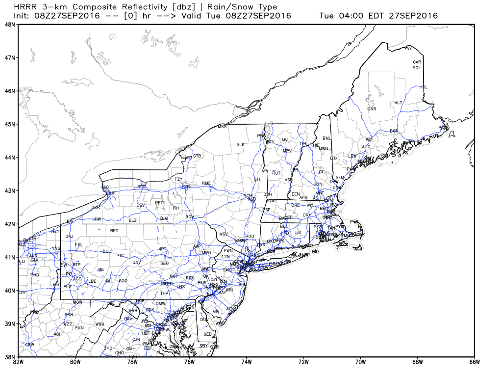
Here is the HRRR interpretation of showers. Notice the widespread coverage this morning dwindling to isolated by this evening as the showers move south. Credit: Weatherbell.
Drier and much cooler this weekend into early next week.
Warm weather will continue today with slowly increasing clouds and light SW breezes. Look for high temps right around 80 in the south and closer to 75 in the north. Mainly sunny skies this morning will slowly give way to partly cloudy skies by this evening as a cold front slowly approaches. A late day shower/sprinkle is possible in the far north due to this front but otherwise dry weather is expected to continue for another day.
Today will feature sunny skies, mild temps, and lower humidity as high pressure works into the area. Look for highs in the mid 70’s north and low 80’s south. Dew points will be much more comfortable in the 50’s today as opposed to 60’s yesterday. Patchy morning fog along the coast will burn off to sunny skies that will be enjoyed region wide.