Hello everyone!
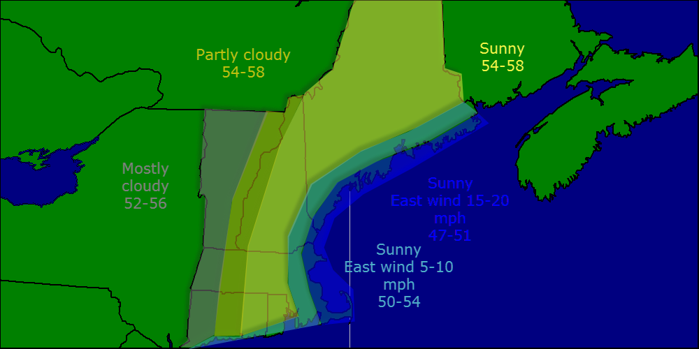
Today will feature cloudy skies, a stiff East wind, cold temps, and the chance for rain. The high pressure system that we have been enjoying for the past few days is moving out into the Atlantic and the storm that brought snow to the Dakotas, freezing rain to Duluth, over a foot of rain in Pensacola, extreme fire conditions in SE CO, and of course the tornadoes in the south, is moving in. We will not experience any of the many many things the storm did to other areas, but we will get a couple of less than perfect days out of it. Rain moves into NH and western ME today but as our high pressure mounts one final stand, dry air should eat away at the leading edge of the precip so expect a mostly dry day east of Portland.
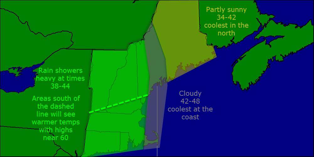
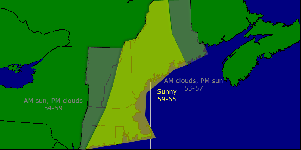
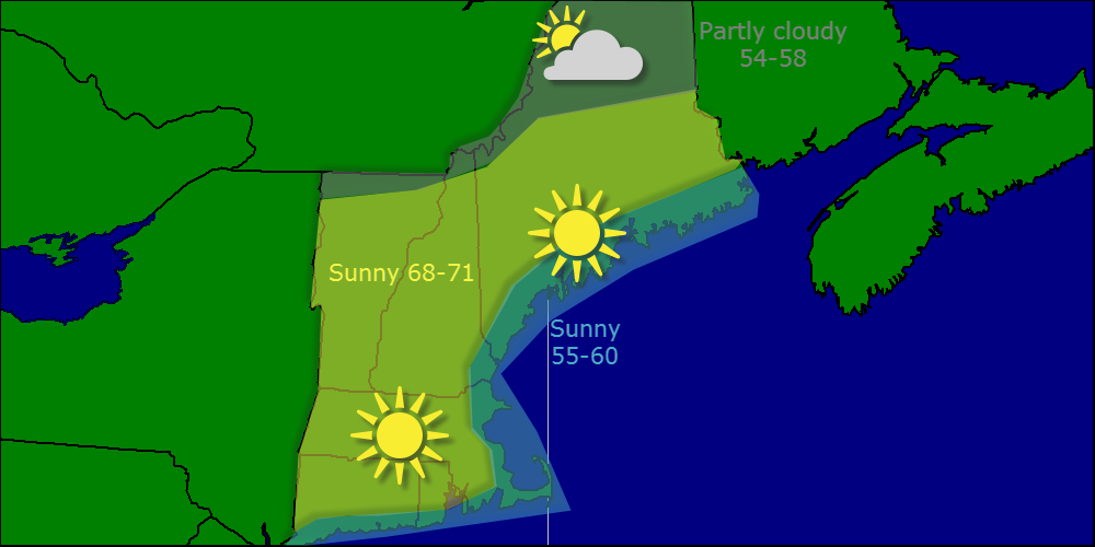
Tomorrow we get the rain in full force with heavy showers passing through all day long. Temps will be mild though in the 50’s and 60’s with 70’s possible in southern areas.
Used RADAR/HRRR/NAM/GFS for precip, SAT/NAM/GFS for clouds. MAV/MET was a good blend for temps matching up well with obs. Went over guidence in Central VT as highs in the mid 30’s seemed too cold for a setup like this.
-Jack