
Hello everyone!
No major changes in the forecast to today or tomorrow, we’re looking at a warm one today with highs in the 40’s to near 50 and mostly cloudy skies. Some breaks of sun are possible across southern areas as well especially this morning.
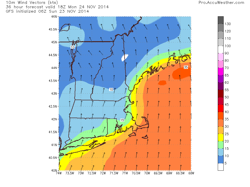
Monday’s forecast is still on track as well. Expect a windswept, mild rain for most of the day with the heaviest activity concentrated in the afternoon hours. A total of .5-1″ is expected. Winds will be an issue as well with gusts over 40 mph possible out of the south. With such strong southerly winds, parts of coastal RI as well as parts of Midcoast Maine could see some minor coastal flooding/splashover. Nothing major is expected but it is something to watch nonetheless.
We clear out Tuesday and some slightly colder air arrives but nothing like we saw last week. Wednesday is when things get really tricky.
Yesterday, I posted a lengthy discussion using technical terms and model maps which I know may be over some people’s heads. Today, I will keep things simple here and record a video with the technical stuff.
Right now, I think that some sort of impacts are likely and the video talks about the reasoning behind that. Still lots of differences in the models regarding the exact track/intensity which will determine the p-type, accumulations (if any) and timing. For now, expect messy travel but don’t cancel any plans yet, still lots of uncertainty.
Cold air will move in after the storm leaves but we’ll have to wait until Saturday for a cold front to bring in the real Arctic air. No big warmups are in sight after tomorrow.
Chack out the video here!
-Jack
