
Hello everyone!
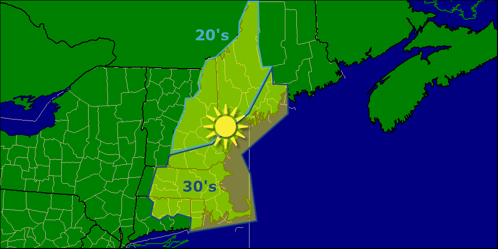
Today will feature clear but cold conditions as an arctic high pressure system builds in. Expect mostly sunny skies with the majority of the cloud cover for the area confined to the mountains and SW areas this evening as our next storm approaches. Highs will be in the 20’s north and 30’s south.
Our next storm system moves in tonight and into tomorrow morning bringing a mix of rain, sleet, freezing rain, and of course snow. Expect 2-4″ of snow for the mountains along with .1″ of ice, 1-3″ inland with .1″ of ice and a Dusting-1″ at the coast with a trace of ice. Not all that significant in terms of amounts but nonetheless, the roads tomorrow morning will be bad to say the least. Everyone flips over to rain midday Wednesday as precip wraps up. I may or may not have another post on this tonight depending on how the forecast changes.
-Jack
