
Hello everyone!
We are still expecting a strong winter storm to impact the region tonight and into tomorrow, snow has already begun across much of the area however the storm looks to not pack quite as powerful a punch as earlier forecasts.
Snow

Snowfall forecast – not as much as you may have heard yesterday but still an appreciable storm. Blowing and drifting will make measuring hard and road conditions much worse than what would usually be expected from this amount of snow. There is still bust potential here… the trend in the past 24 hours has been towards less snow so amounts could end up a little lower than the numbers shown here. Localized banding will also help contribute to wildly fluctuating snowfall amounts.
Wind
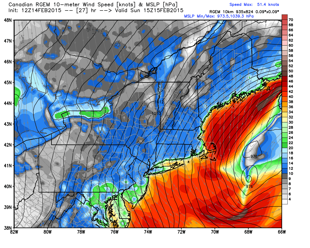
Wind will be the big concern with this storm as the dry fluffy nature of both the new snow and the old will lead to extensive blowing and drifting of the snow as well as localized whiteout conditions. For this reason, blizzard warnings are up for the coast and adjacent inland areas. While most areas should see blizzard conditions, only the immediate coast should see a full-regulation blizzard with winds 35 mph+ and visibilities at or below 1/4 mile for 3 consecutive hours. Power outages could also be a problem with wind gusts at the coast approaching 50 mph.
Looking ahead, cold conditions look to remain locked in place with storm threats on Wednesday and again next weekend. More details to come on those as they become more clear.
-Jack
