
Hello everyone!
A cold front yesterday has done its job well and cold air now lies in place across the region. Low pressure from the plains is moving across the Southern Great Lakes on its way to Maine. The forecast from last evening remains more or less on track. The forecast for today worked out great with light snow/sleet falling area wide with widespread coatings reported. Easterly and north-easterly winds will bring moisture in off the ocean tonight and as a result, drizzle and freezing drizzle will develop in patches area wide tonight which will result in slick conditions where temps are below 32F (Everywhere except southern York County).

Here’s the surface map showing the setup. Look for drizzle/freezing drizzle tonight and early tomorrow followed by steady rain/freezing rain depending on location and surface temps. Temps aloft are quite toasty and thus snow will be isolated to far northern areas early tomorrow morning. The morning commute does look to be slippery as freezing rain and sleet create an icy layer on the roads. With ice accumulation remaining generally under a quarter inch, power disruptions are unlikely.

Here’s what I expect for impacts. I’ve moved more areas near the coast into the freezing rain zone as warm air will be hard pressed to scour out the cold in place. The greatest impacts will be inland but areas even near Route 1 are definitely at risk for slick travel tomorrow morning. While the immediate coastline will change to rain fairly quickly, the morning commute especially early is likely to feature slick spots. While this won’t be a high impact event, widespread slick travel is likely tomorrow for the morning commute everywhere and for the evening commute away from the immediate coastline.
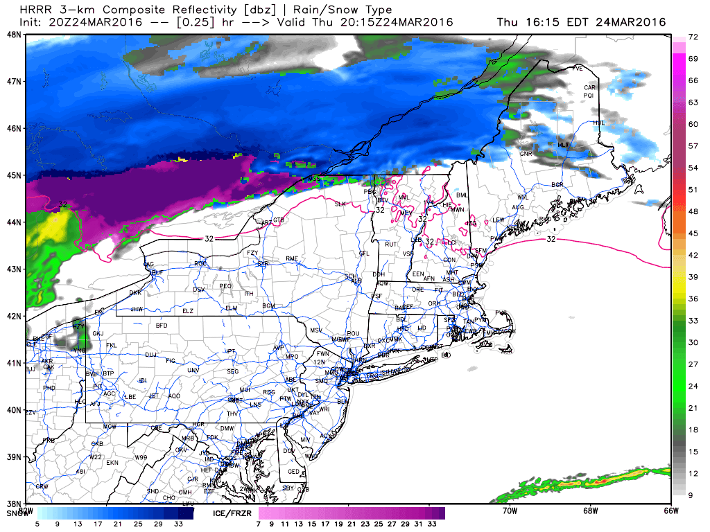
Here’s how the HRRR thinks things go down tomorrow. WARNING: This model likely underestimates the sticking mower of cold air. While the immediate coastline likely does see the bulk of precip in the form of rain, most inland areas especially the mountain valleys are likely in for freezing rain through Friday evening.
Precip clears out Friday night leaving clearing for Saturday. A lovely weekend is ahead with a warming trend leading up to a likely rain event early week.
-Jack
