Tag Archives: still winter

Residual Snow Showers This Morning As Storm Moves Out

Hello everyone!

Our storm is moving out this morning and most of the accumulations are done with the exception of NE areas where heavy snow bands will continue for another few hours. For the rest of us, some dry air at around 10,000 feet is causing precip to shut off and thus most of southern Maine is now dry.

radar

That’s not to say precip is completely done, the upper low is only just beginning the process of moving through the area and everyone will likely see another round of snow this afternoon as it finishes its crossing.

HRRR Model Simulated Radar Animation. Credit: Weatherbell

Here is the HRRR model showing one more round of snow this afternoon before the storm moves out for good. Expect these snow showers/squalls to be heaviest between 1 and 6 PM this evening before moving out around 8 or 9 PM tonight.

Temps will be falling today starting in the 30’s this morning and crashing through the 20’s this evening. The mountains will likely see readings in the 10’s while the coast likely stays in the 20’s.

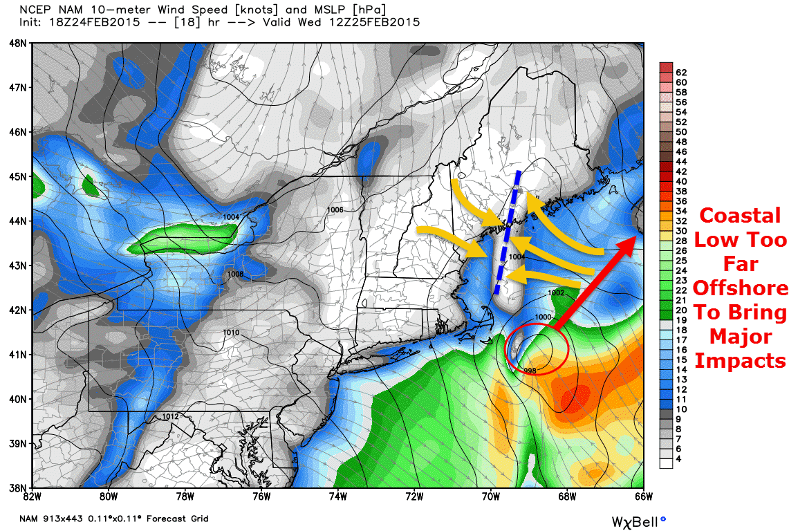
No other major storms are in sight.

-Jack

Colder Today As Storm Slides South

Hello everyone!

Good news and bad news today. Good news: a reasonably large snow storm has missed us to the south. The bad news: it will be about 20 degrees colder today compared to yesterday. NW winds will also make it feel cooler today and will likely introduce a few flurries for the mountains. For the rest of us, a mix of sun and clouds along with highs in the 20’s to low 30’s can be expected today. No storms are in sight and warm-up signals are increasing for next week.

-Jack

Snow Moving In This Evening And Out Early Tomorrow Morning

Hello everyone!

Quick update this evening on our light snow event that is beginning across the region currently and will continue through early tomorrow morning.  Light snow is beginning across southern and western areas right now and will continue to spread east this evening. Since the atmosphere is quite dry at the moment, expect some of the radar returns shown below to not be making it all the way to the ground.

radar 3-1

Expect snow to continue through the night tonight before ending early tomorrow morning. Clearing skies can be expected tomorrow along with NW winds and cooler temps. Details on tomorrow’s forecast will come in tomorrow morning’s forecast update.

snow map 3-1


Just a few minor changes to the snow map this evening, highest snow totals look to be south and east with this one yet again. Another storm heads our way midweek with a warmup too.

-Jack

Snow Winds Down This Morning, Clearing This Afternoon

Hello everyone!

Snow is currently in progress over areas NE of Portland with the heaviest precip centered to the east of Brunswick. Expect light to moderate snow to end before dawn for areas to the west of Bath with snow sticking around through around 9 AM for areas to the east of there.

radar 2-25

After snow moves out this morning, NW winds will take over and we will begin the upslope/downslope cycle where the mountains squeeze out the moisture in the air causing clouds and flurries while the foothills/coast sees all the remnant dry air and thus clearing. The moral of the story – mountain clouds/flurries, coastal sun. Temps will be in the 20’s for most with some 30 degree readings possible along the coast.

-Jack

Another Norlun Trough Set To Graze The Area Tonight

Hello everyone!

Special update this evening to cover another Norlun trough type setup that looks to bring another round of light snow tonight and into early tomorrow morning. While the heavy snow bands usually associated with Norlun troughs will remain mostly offshore, an axis of shifting winds with reasonably impressive instability and some lift too will make an appearance mainly east of Brunswick tonight into tomorrow morning.

18Z NAM Showing A Distinct Wind Shift Line (Orange Arrows/Blue Dashed Line) Over Midcoast Maine At 7 AM Tomorrow. Credit: Weatherbell

A low pressure area that brought snow and ice to the southeast US will move too far offshore to bring major impacts though a Norlun trough, basically a wind shift line, will extend to the NW of the storm bringing coastal areas some snow. Snow will be concentrated between 11 tonight and 9 tomorrow morning.

hey look another norlun!!
12Z GFS Showing Intense Upward Motion Over Midcoast Maine At 7 AM Tomorrow. Credit: Accuweather


While snow will mainly be light, especially west of Brunswick, some moderate to even heavy bursts of snow are likely across Midcoast areas. The map above shows intense upward motion across Midcoast areas tomorrow morning signaling bands of heavy precip are possible. The areas most at risk for heavy precip will be east of the Bath/Brunswick area.

snow map 2-24

Here is the expected snowfall from this event. Not a lot, but the driveway will once again have to be cleared especially over eastern areas.

In case you were wondering if this event was a Norlun trough, Weir Lundstedt, one of the two ‘discoverers’ of the Norlun trough (he represents the ‘lun’ part of Norlun) confirmed yesterday evening this did in fact look to be a hybrid Norlun event.

-Jack