
Hello everyone!
Today will feature hot temperatures and increasing humidity as upper level ridging moves into place. Highs today will soar well into the 80’s while dew-points will top 70. (Just beautiful weather to run an XC race in, right?).
All this humidity will become fuel for powerful storms on Saturday as the cold front nears. Expect widespread thunderstorms with very heavy rain and gusty winds tomorrow afternoon. The SPC has placed us under a slight risk for severe weather.
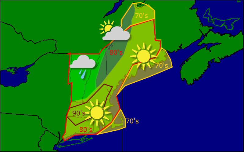
Busy weather map today as the front begins to approach the region from the NW. Right now, it looks like most areas stay dry but Vermont and western NH could see a shower or two later this evening. For most of us though, just hot and humid.
-Jack
