
Hello everyone!
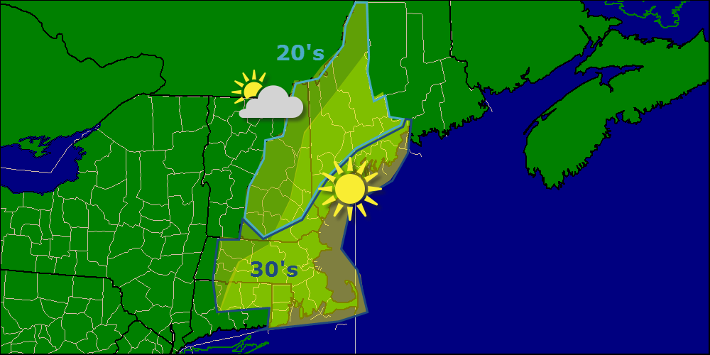
Today will feature more cold temps and mainly clear skies with highs only rising into the 20’s and 30’s, much like yesterday, but thankfully sans wind. Some clouds may start to work their way into the region later this afternoon as our next weather maker arrives from the SW.
Our next storm system arrives tomorrow and will be a lot like the one we saw Wednesday. The main difference being that all indications are there will be a weak coastal front with onshore flow to the east and a cold northerly flow to the west. Where this coastal front sets up will be the rain/freezing precip line for this event. Most will see at least some freezing rain although the mountains again look like mostly snow.
-Jack
