
Hello everyone!
No super long update tonight as I am busy preparing for my talk at the Freeport Community Library this evening at 6:30. If you’re around, stop by, say hi, and learn a bit about the quirks of Maine weather as well as some tips for being a better educated consumer of weather info and some ways you can help forecaster’s efforts by reporting your observations.
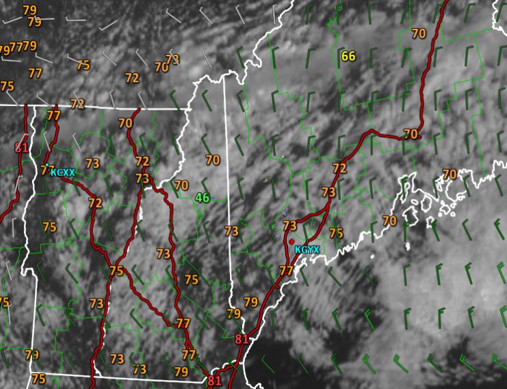
Today’s forecast worked out fairly well. Morning showers across the mountains drifted SE and weakened before evaporating all together. NW winds were breezy as forecast and the upslope/downslope pattern was evident in both cloud cover and temps. Note the more widespread clouds and associated cooler temps over the mountains while more sun and associated warmer temps could be found over southern areas. Temps rose into the 70’s as expected with a couple of low 80’s in southern NH. While it was a little cloudier along the coast than forecast, overall today was a fairly successful forecast.

A secondary upper level disturbance and associated cold front will arrive tomorrow afternoon. Normally this would be cause for storms but the atmosphere will be lacking something it hasn’t in a while: moisture. Dry air both in the upper levels and the lower levels will limit any widespread shower/storm activity. That dry air is evident in the large dew point depressions (distance between the temp and dew point, red line and green line respectively) in both the upper and lower parts of the atmosphere. That being said, some mid level moisture will bring some clouds and possibly could be enough to trigger a shower or two. This threat will be greatest across the mountains but everyone should be on alert for a spot shower here or there during the afternoon tomorrow.

Several warm and dry days follow tomorrow’s front but by Sunday, dew points will be creeping up as a cold front approaches from the west. The pattern aloft will feature a blocking high pressure system across the western Atlantic which will act to slow down the forward progress of the front. As tropical moisture clashes with a refreshingly cool and dry airmass that follows the front, showers and storms are expected. Because the front won’t be moving very fast, storms could ‘train’ over certain areas resulting in heavy rain. Right now, this continues to be a threat for heavy rain but details are far from certain. It does not appear to be the drought buster we need but anything helps at this point.
A refreshing cool and dry airmass will follow that front for the early to middle parts of next week.
More details on that heavy rain threat as we get closer.
-Jack

