
Hello everyone!
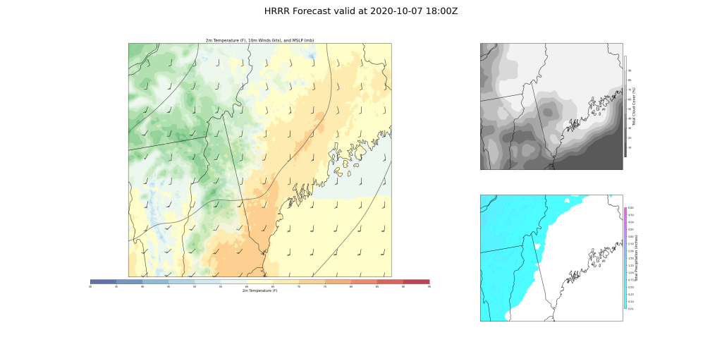
Today will feature breezy and unsettled conditions as a strong cold front moves through the area. The day will begin on the warmer side ahead of the front before colder air surges in this afternoon. Look for highs to jump up into the 60s across the mountains/Midcoast and low-mid 70s in southern/western areas.
Skies will start out at least partly sunny for most spots this morning before clouds arrive from the west later in the day. The mountains will be the cloudiest part of the area throughout the day today.
This forecast map is valid at 1 this afternoon and shows a round of rain beginning to move in from the west along a little trough axis ahead of the front. Expect some showers in the mountains during the midday hours thanks to this feature, but unfortunately the steadiest/heaviest rain looks to remain north of the Canadian border.

The real action arrives in the 3-5 PM timeframe when the actual front crosses the region. During this time, we’ll see numerous strong showers develop due to unusual late-season instability and very strong dynamics aloft. Winds will be howling just above our heads, and these showers will provide a pathway for some of that momentum to drop down towards the surface. Don’t be surprised to see some very strong gusts with these showers. The threat for power outages and tree damage is definitely there. Because cold air will arrive aloft before it does at the surface, some of these showers will be capable of producing lightning and hail. Head inside if one moves in your direction!
Quieter weather will return during the evening though westerly winds will remain somewhat gusty as temps drop rapidly into the 40s and 50s.
-Jack
