Hello everyone!
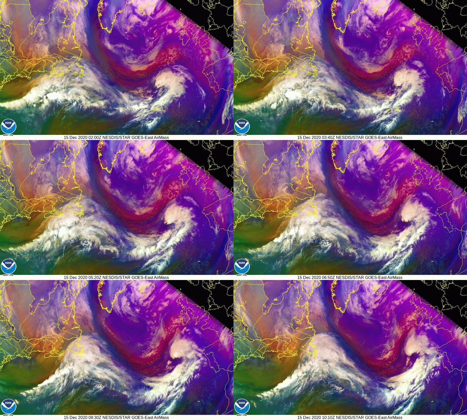
Well east of our area this morning, the storm system that brought light snow to parts of the area yesterday is undergoing a stunning transformation into a powerful North Atlantic cyclone.

Over the course of the day, this storm’s central pressure will drop to that which we’d expect to see in a Category 3 or 4 hurricane (935-945mb). Why is this important? Wind is driven by pressure gradients, and the fact that we have such a strong area of low pressure not all that far off to our northeast means that there will be a strong pressure gradient over the area today. Therefore, it will be quite breezy.
Expect NW winds ranging from 30-35 mph in northeast parts of the area closer to the low and 25-30 mph in southern NH farther from the low.

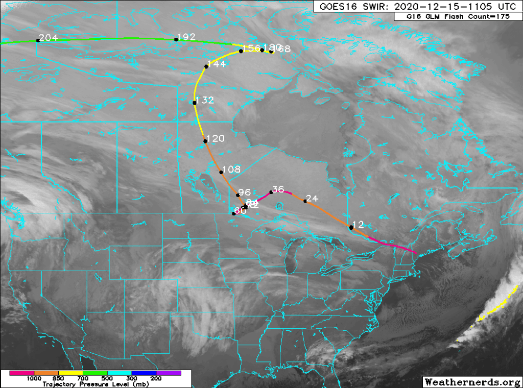
A quick back trajectory analysis shows that the air arriving in our area this morning has come straight from the Canadian Arctic, carefully avoiding bodies of water that might take the edge off the chill. That means that it’ll be quite chilly in addition to windy.
Given that this is the airmass moving into the region today, high temps are pretty much what you get when you wake up (high 10s north, around 30 right at the coast). The weak December sun will battle the arriving chill to a draw this morning, leaving temps about where they are now until we really begin to fall off around sunset tonight.
By tomorrow morning, temps will have fallen to around -10 up north and around +10 in the south. Leftover NW breezes will actually keep these numbers a smidge higher than they might otherwise be, but of course will also drive wind chill values right into the ground. Wind chill advisories are up for parts of the mountains where -20F chills are expected. Though the rest of the region looks to fall just short of advisory criteria, it will still be wise to properly bundle up if you’re headed outside even for a short time.
Our next storm is still on track to arrive late tomorrow night into Thursday morning. This storm, passing well south of the region, will be all snow but we don’t yet know just how far north the moderate/heavy bands might be able to make it. Right now, the best chance for >6″ of snow is in southern NH and parts of Maine south of Portland. Snowfall totals will quickly taper off to around 0″ up in the mountains. With such deep cold in place, whatever snow does fall will be quite fluffy. Much more on this storm either later today or tomorrow.
-Jack
