
Hello everyone!
Today will feature cool temps and clear skies as high pressure moves overhead. After starting a few degrees on either side of zero this morning, temperatures will warm up a little above yesterday’s highs by this afternoon. Northern spots will be lucky to hit 20-25 while far southeastern NH may make a run at 32.
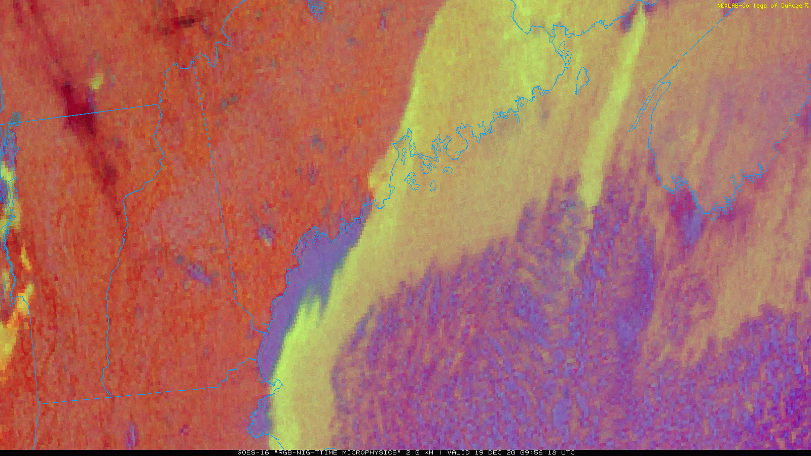
This satellite loop shows clear skies over the region this morning with one neat exception” some lake effect downwind of Sebago Lake. Usually, Sebago is either too small or too frozen to support lake effect clouds. The ingredients have come together today because we have cold air while the lake is still open, and light NNW winds oriented parallel to the lake’s major axis (long side) allow air parcels an unusually long time over water to pick up heat and moisture. I’m not sure if these clouds are deep enough to produce any snow, but if someone happens to be heading down Rt 25 west of Windham this morning, I’d be really curious to know!
Anyways, aside from those couple square miles our skies are clear this morning and will remain so until cirrus arrives from the west this afternoon ahead of our next (weak) storm slated to arrive tomorrow with some light snow.
-Jack

I’ve experienced mill-effect snow before in Rumford. It was a clear subzero evening, and I was driving Rt-2 through Rumford when it suddenly started to snow. There was a huge steam plume coming out of the mill stack that was condensing into a cloud and light snow that was actually covering the ground with a trace amount.