All posts by Jack Sillin

I’m a third-year atmospheric science student at Cornell University who has been blogging about the weather since 2011. While I’m not officially a meteorologist, I have accumulated a bit of experience forecasting both local weather (in western Maine and New Hampshire) as well as national/international weather during my time writing for weather.us and weathermodels.com. I also have experience programming in Python, teaching concepts in weather forecasting, and communicating forecast information to general audiences.

Fast-Moving Storm Arrives Tonight

Hello everyone!

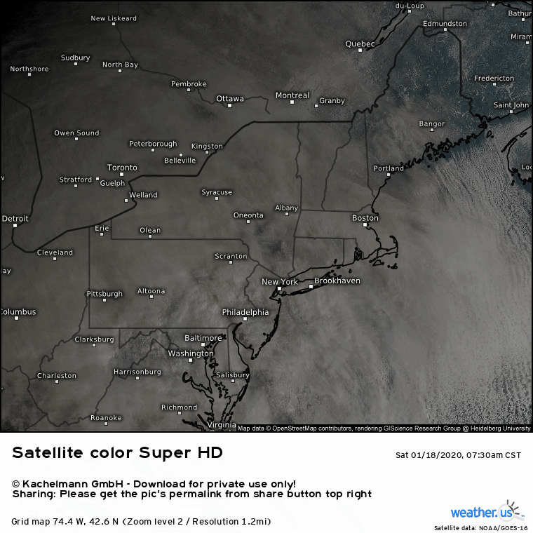
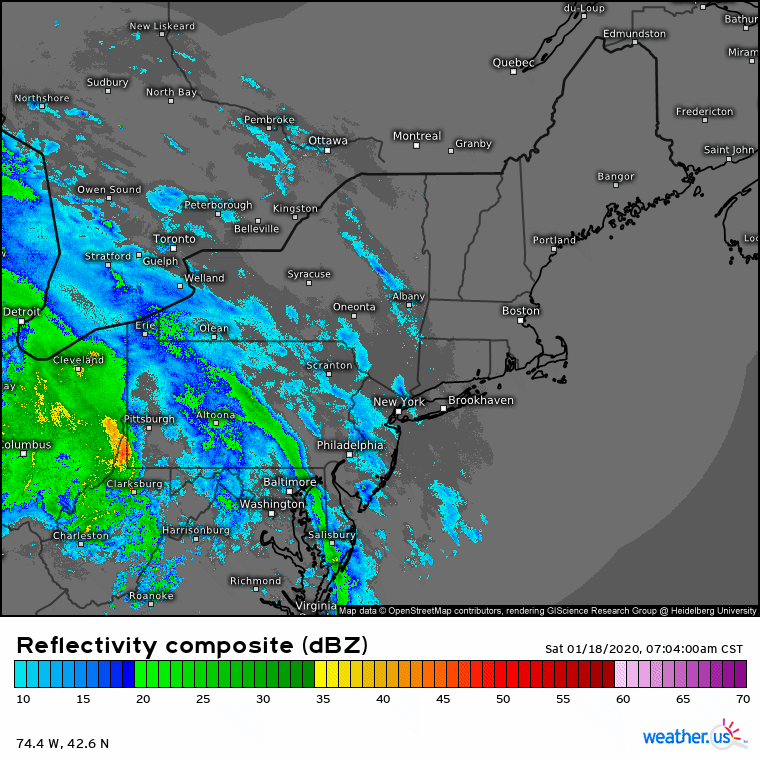
Most of today will feature continued quiet weather as high pressure continues drifting off into the Atlantic. Clouds have already overspread the area ahead of our next storm system which is scheduled to arrive this evening. Some drizzle/fog is possible this afternoon, especially in the foothills and mountains, but otherwise any outdoor activities planned for today should be mostly dry.

Here’s a look at observed temperatures as of 6 AM. The coastline is already above freezing while the foothills are within a degree or two of the 32F mark and the mountains are safely in the 20’s. Southeasterly winds will push temps slowly but steadily upward today across the entire area. By this evening, the coastline will be well into the mid 40’s, the foothills will be a little shy of 40F, and the mountains will be right around freezing.

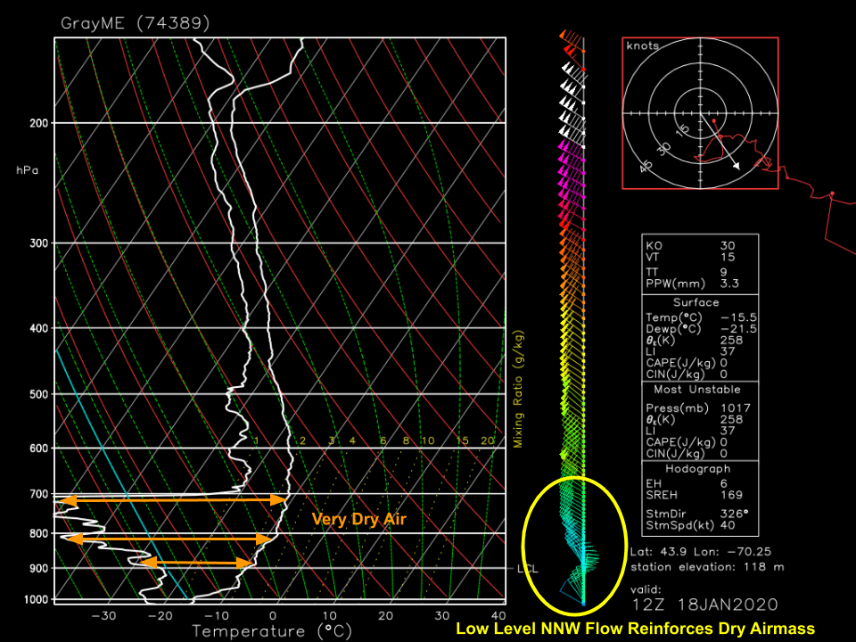
As a result, when precipitation arrives, most of the area will see plain old rain. The exception will be the mountains where a mix of wet snow, freezing rain, and sleet is likely. This is a fast-moving storm so even the spots that end up all or mostly snow (best shot of that is near Sugarloaf) will only pick up a few inches of accumulation. Otherwise, the biggest impact will be some slick backroads.

Closer to the coast, we’ll have different issues to contend with.

Southeasterly winds will ramp up after sunset as the storm’s cold front gets closer. Gusts in the 40-45 mph range are likely along the coastline while inland areas gust in the 25-30 mph range. While this isn’t expected to be a major southeasterly wind event, the threshold for power outage issues is lower with this wind direction, so don’t be surprised if the lights end up out for a few hours especially along the Midcoast.

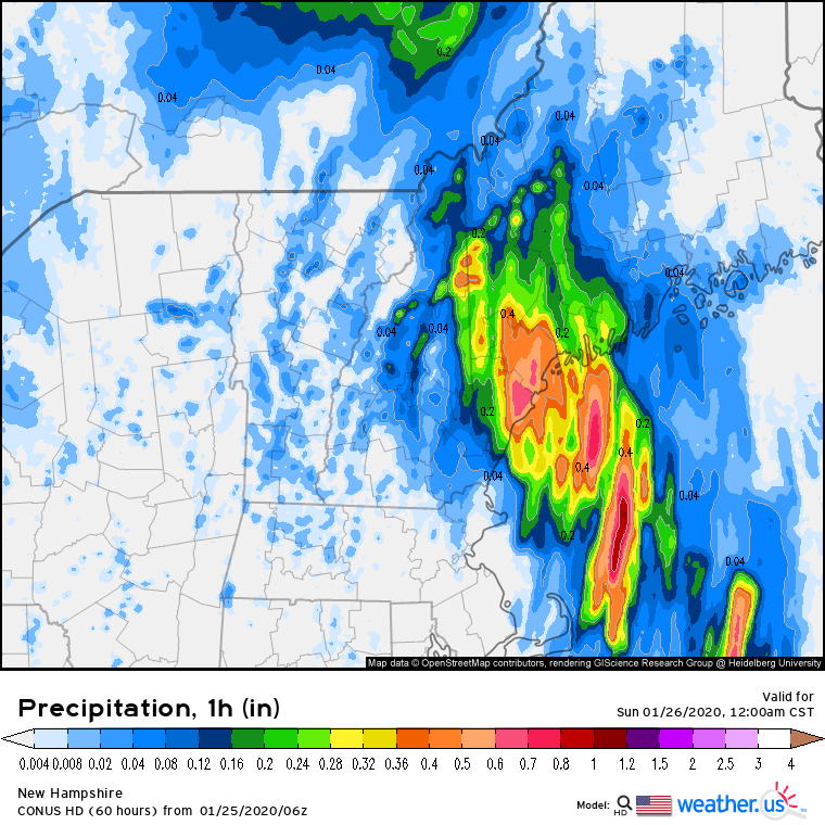
The other possible issue along the coastal plain will be very heavy rain as the front slices through an anomalously moist airmass. Around 1-2″ of rain is expected to fall in just a couple hours (note the hourly precip rates on the map above) and some small stream/poor drainage flooding is expected as a result. Because the storm is swinging through just after midnight, most of you probably won’t even notice this, but if you head out early on Sunday morning, make sure to keep your eyes out for residual high water spots.

Nicer weather will return for tomorrow.

-Jack

Quiet and Warmer Today

Hello everyone!

The high pressure we’ve been enjoying for the past several days is finally moving well east of the area, but we’ll be able to hang onto its influence for one more day. As a result, expect more quiet and dry weather today. We won’t be quite as sunny as recent days, though a few breaks of brighter skies are possible this morning before the next storm’s cloud deck finishes its approach. Warm return flow on the back side of our long-departed high will continue to push temps upward across the area today. High temps will range from 32 in the mountains to 45 along the MA/NH border.

Our next storm system arrives tomorrow evening and will bring rain to the coastal plain while snow and mixed precip falls in the mountains.

-Jack

Quiet Weather Continues Today

Hello everyone!

Today will feature another day of quiet weather as high pressure begins to drift slowly offshore. As the high moves off to the southeast, light WSW breezes will develop today. This means warmer temps will move into the area, along with a few clouds. Most of the region should start off with sunshine this morning before high clouds overspread the area from west to east this afternoon. High temps will range from 30 in the cooler mountain valleys to 45 in southern NH.

Our next storm will arrive Saturday evening with a mix of rain and snow.

-Jack

Quiet Weather Continues Today

Hello everyone!

Today will feature continued quiet weather as high pressure continues to linger overhead. Light westerly flow on the northern periphery of that high has pushed some low cloud cover from Lake Ontario into the mountains, some of which has escaped onto the coastal plain north and east of Portland. These clouds should dissipate this afternoon for most of the area though weak upslope flow will keep the overcast locked in over the mountains. While westerly winds don’t usually bring us our warmest airmasses, the core of the cold air we’ve been experiencing for the past couple days has now moved offshore so we’ll end up a bit warmer than recent days. Look for high temps a few degrees shy of 30 across the mountains, and a few degrees shy of 40 in SE NH. No precip is expected today.

Another Cool and Quiet Day Today

Hello everyone!

Today will feature cool temps and generally quiet weather as a strong area of high pressure lingers just to our south. Light WNW breezes will continue this morning before calm or nearly calm conditions take hold this afternoon. Satellite imagery shows clear skies across the region this morning, and while some high clouds may drift into the region from the west this afternoon, generally sunny skies should prevail throughout the region today. Temps will remain a bit on the cooler side of climatological averages, ranging from a little above 10 in the north to a little above 20 in SE NH.

-Jack

Clear And Cold Today

Hello everyone!

Today will feature clear skies and cold temps across the region as strong Canadian high pressure drifts into the region. If you look outside along the coast this morning, you’ll notice some cloud cover associated with the back edge of last night’s cold front. I’d expect those clouds to move offshore within an hour or two. WNW winds won’t be anything to write home about today, generally staying below 25 mph, but given the cold temps, even a little bit of wind will feel pretty nasty if you head outside with too few layers. High temps will range from a little above 10 in the north to a little above 20 along the coast.

-Jack

Slow Clearing Today

Hello everyone!

Today will feature slowly clearing skies as the area of low pressure that brought snow to the region last night moves off to the northeast. Most of the area is done with accumulating snow as of 6 AM, but radar imagery shows some flakes still flying across the mountains and far eastern parts of the area. An additional 1-2” is possible in the mountains due to upslope flow and the presence of a weak surface trough, while eastern areas near the Camden Hills are likely only to pick up a dusting-1” of additional snow.

As per usual, skies will clear first along the coastline midday before sunshine expands north and west later in the afternoon. Most of the mountains will have to wait until tomorrow for sunny skies. NW winds will pick up behind this storm, but that process will take a little longer than usual as light winds linger ahead of the weak surface trough I mentioned earlier. Some gusts in the 25-30 mph range are possible later this evening, with the primary impact being wind chill related.

High temps today will range from the low 20’s in the northern mountains to the upper 30’s in SE NH.

-Jack

Next Moderate Snow Event Arrives This Evening

Hello everyone!

Today has started off on the chilly side as an area of strong Arctic high pressure has finally settled in behind Thursday’s storm system.

Temps as of 9 AM are still stuck in the single digits for most places, with a few readings a little above 10 noted in southern areas (and Mt. Washington which believe it or not is among the warmer spots this morning due to an inversion, which is a layer where temperatures warm with increasing height.

Satellite imagery shows mid/high clouds moving into the region from the west ahead of our next storm system which is currently moving through the Great Lakes. Any morning sunshine will be relatively short-lived, especially over southern and western parts of the area. Most of today will feature overcast skies, which means it will be harder for temps to warm up.

With that in mind, expect high temps to range from 15 in the north to 25 in the south which is a bit below climatological averages, but not by much.

Composite radar imagery shows precipitation struggling to advance northeastward this morning as most of the leading-edge snow evaporates in the layer of very dry air near the surface.

This morning’s weather balloon observation from the Gray NWS office highlight that layer of very dry air below the 700mb pressure level (about 10,000 feet above the ground). That layer of dry air will be reinforced by continued light NNW flow in the low levels.

With that in mind, here’s a look at the HRRR’s simulated radar imagery for the upcoming event. Light/moderate snow will overspread the region this evening from SW to NE, and will become heavy around midnight before clearing out early tomorrow morning. The vast majority of this storm’s precipitation will fall as snow, but a brief period of sleet/freezing rain is possible in southern NH tomorrow morning.

Here’s the NWS forecast for snowfall totals at the end of this event. Most of the area should see around 4-8″ with locally higher totals possible in the mountains. Snow ends quickly tomorrow morning with little impact to commutes either this evening or tomorrow morning.

-Jack

Clear and Cold Today

Hello everyone!

Today will feature clear skies and cold temps as strong Canadian high pressure builds into the region from the west. This morning, the center of that high is located over southern Ontario which means we’re still stuck with last night’s gusty NW winds. Those winds will continue for a few more hours before tapering off midday. Skies across the region are clear this morning, and will remain so throughout the rest of the day. Temperatures will be on the chillier side, but even this cold blast is pretty tame by Maine/New Hampshire January standards. Highs will range from around 0 in the north to around 15 along the coast.

-Jack

Quick-Hitting Snowstorm Today

Hello everyone!

Today will feature a fast-moving snowstorm as low pressure rapidly traverses the state of Massachusetts. Radar imagery shows moderate/heavy snow banding well underway across the entire area this morning, perhaps with the exception of light snow along the Canadian border. Snow will continue to fall steadily through this afternoon, especially along Maine’s coastal plain. Farther south in NH, rain will mix with snow and lead to lower accumulations. Some mixing may also occur east of I-95 and south of Portland. Snow will taper off from west to east this afternoon. As the low rapidly intensifies offshore, heavier snow will linger along the coast into the early evening hours before departing around 6-7 PM.

The highest snow totals today will generally be found north and east of Portland where 4-8” will fall. This area will also include most of Cumberland County and northern York County, even those areas that are west of PWM. Amounts will slowly taper off W/NW of a Fryeburg/Waterville line, with only 1-3” expected along the Canadian border.

High temps today will range from 25 in the north to 35 in southeastern NH.

-Jack