Hello everyone!
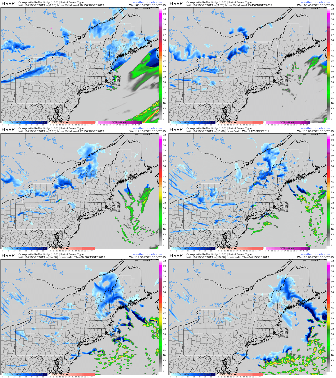
Today will feature the passage of a strong Arctic cold front as an area of low pressure moves east through Canada. The front will arrive in western NH around 4-5 PM before moving into Maine between 6 and 7. Along the boundary itself, expect brief but intense snow squalls which will bring visibility down to around 1/4 of a mile and could drop a quick coating-2″ of snow. Not everyone will see a snow squall, but snow showers (lighter but similarly transient bursts of snow) will drift across just about the entire region at some point this evening. Squalls are most likely in the mountains and along the midcoast where a weak and short-lived Norlun Trough will set up this evening. Similar to Lake Effect snow, this trough will feature a very narrow but very intense band of snow that could drop 2-4″ even though it will only stick around for perhaps an hour or two. This band is expected to develop between Camden and Belfast later this evening (after 8 PM) before it moves east.

Temps today will be fairly seasonable, ranging from 25 in the north to 35 in the south. Much colder air will arrive behind the front tomorrow along with blustery NW winds.
-Jack
