Hello everyone!
The nor’easter discussed in great detail yesterday afternoon is still on track to arrive late tonight from southwest to northeast with moderate/heavy snow. Before the first flakes fly, we’ll enjoy quiet and cold weather today thanks to a strong area of Arctic high pressure.

A quick look at surface analysis and observation data this morning shows that big high pressure area over Quebec while our developing storm is currently split into two components over TN and off the SC coast. All the little numbers you see are temperature observations. If you haven’t yet stepped outside this morning, make sure to bundle up when you do so! Temps across the region range from around 10 below up north to around 10 above in the south.
Skies right now are mostly clear, but morning sunshine won’t last long as clouds approach from the southwest ahead of the storm. By mid-afternoon, the entire region should be seeing overcast skies.
As we move into the later afternoon hours, calm conditions will gradually give way to light northeasterly breezes as the storm’s snow shield gets closer.

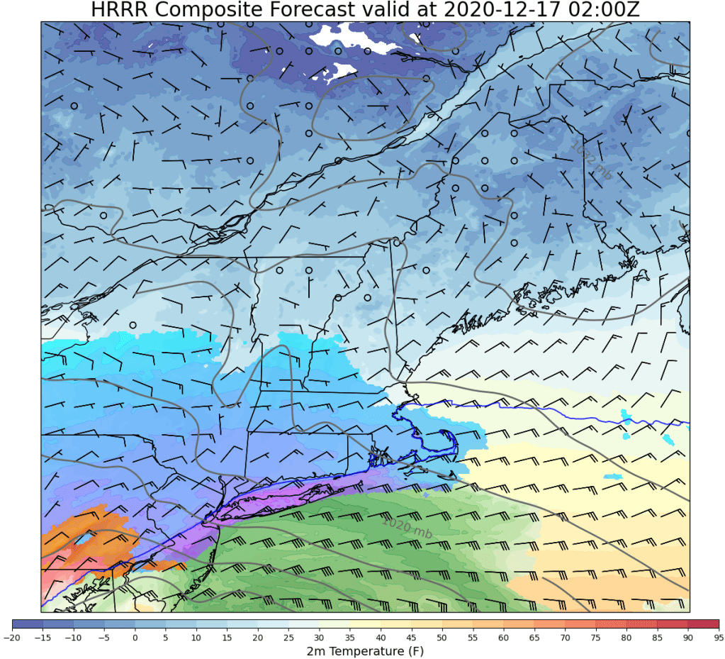
While not shown on this map, I’m thinking ocean effect snow showers are possible along the NH Seacoast and adjacent parts of York County starting around 4-5 PM. We don’t quite have enough of an easterly component to the winds for much accumulation but an early dusting is possible in some spots before the primary round of snow arrives later tonight.

By 9 PM, snow should begin falling over far southwestern NH while the rest of the area remains cold and dry. Snow will slowly struggle northward overnight as low-level dry air erodes. Just how fast and far north this process can occur will determine snowfall totals especially for spots north of Brunswick-Lewiston-Fryeburg.

Here’s an updated look at what I’m thinking for snowfall totals from this system. There really haven’t been any significant changes from yesterday’s forecast, though I trimmed amounts back a smidge on the northern edge. When all is said and done, the observed snowfall map will have a really sharp gradient somewhere near where my 4-8″ swath is. Amounts north of that may struggle to reach 2-4″ while points just south could exceed 12″. Unfortunately there’s just not quite enough confidence to try and pin down that gradient location more precisely. Perhaps we’ll get some more clues with today’s model guidance and observational data. If that information indicates that noteworthy changes might be needed to this snow map, I will have another update this evening. Otherwise, we’ll go with this forecast and wait to see how it turns out.
Another aspect of the storm worth mentioning is the possibility for near-blizzard conditions as our fluffy snow is blown around by gusty northeast winds tomorrow.

This map depicts the chance that a given point will see <0.5 mile visibility with snow and winds over 30 mph. Because this product uses sustained winds instead of gusts, the highest probabilities are concentrated heavily offshore but coastal spots particularly in southeastern NH and south of Portland in Maine are likely to make a run at blizzard criteria (visibility <=0.25 miles with frequent gusts >=35mph for three or more hours) tomorrow morning. We might fall just short (hence the lack of blizzard warnings from the NWS) but the impacts will be similar regardless.
-Jack
