
Hello everyone and welcome to 2021!
Today will feature quiet weather as high pressure slides overhead out in front of our next storm system currently spinning over the Plains. Skies will start off mostly sunny this morning before high clouds gradually filter in from the west this afternoon.
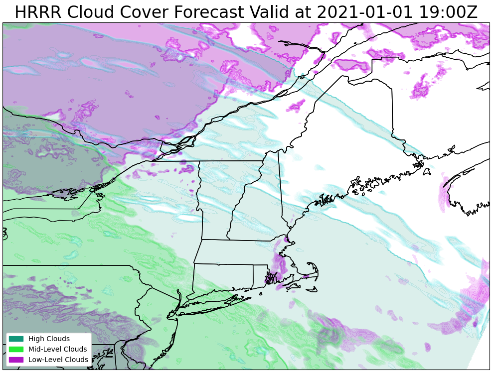
This forecast map shows cloud cover expected around 3 PM, and the blueish hues suggest high “cirrus” clouds moving in ahead of the thicker mid-level clouds denoted in green.
High temps today will range from the mid 20s up north to the mid 30s in southern NH.
Our next storm system will arrive from the west tomorrow with an early-morning burst of snow across the area giving way to more snow in the foothills/mountains while southern areas and the coastal plain deal with a mix of snow, sleet, freezing rain, and plain old rain.
I’ll try to have another update up this evening focused on this system. Right now, it looks like 8-12″ is possible in the mountains with a general 4-8″ north of Plymouth NH-Brunswick-Belfast and 2-4″ along the coast/south of that line.
-Jack
