Today will feature increased cloud cover and a bit of light precipitation as a weak storm system moves off to our west. Southerly flow ahead of this feature will push temps into the low 30s up north and low 40s right along the coast. Most of the precipitation associated with this storm will remain off to our north and west, but the mountains should see some snow showers midday into the early afternoon. A few of the higher summits could pick up 1-3″ but dustings will be more common in the valleys. Precipitation outside of the mountains will be spotty, brief, light, and mostly falling in the form of rain. A few foothills spots might even see a brief period of wintry mix (sleet/freezing rain) but aside from a couple localized slick spots on the roads, this will be a low-impact event.
Cooler air will filter into the region behind this system tonight.
After snow showers and breezy conditions yesterday in the wake of our big Christmas storm, quiet weather will return to the region today as high pressure slides overhead. Skies across the area will be mostly sunny and winds will be light. After a couple final flurries in the mountains this morning, dry weather will be the rule across the area. High temps will sit right around seasonal norms, ranging from the mid/high 20s up north to the mid 30s along the NH Seacoast.
Today will feature more sensible temperatures for this time of year as cooler air filters into the region from Canada on westerly breezes. Those westerly breezes will set up our usual upslope/downslope pattern with mountain clouds and snow showers while the coast sees partly to mostly sunny skies. Mountain snow showers will be enhanced at times by moisture moving in from Lake Ontario, and 1-3″ could pile up on the higher summits and favorably-exposed western slopes. When we get a surge of lake moisture later this morning to team up with a weak secondary cold front, a few of those mountain flurries might drift into the foothills or even the coastal plain, but no accumulation is expected outside the mountains.
Temps today will fall slowly but steadily as cooler air moves in from the west. Look for highs to occur early in the day and range from the mid 20s in western NH to the upper 30s east of Augusta.
Hello everyone, and Merry Christmas to all those celebrating today!
Mother Nature is still doing her best Grinch impression this morning as temps range from around 50 up north to just over 60 in southern NH. Warm air continues to stream into the region this morning on gusty south-southeast winds. Those winds are mixing down to the surface from time to time and causing some power outage issues, though outages thus far are fairly isolated. The strongest winds will sweep through the region later this morning before calmer conditions arrive this afternoon.
Unfortunately, the actual front that marks the leading edge of cooler air will not arrive until after dark. That means that temps today will continue rising through the 50’s for the entire region and even into the low 60s across southern parts of the area.
Rain will fall steadily across pretty much the entire area for pretty much the whole day, and will become heavy at times as various boundaries slide through the region this morning and during the midday hours. If you live near a river/stream, watch out for high water today thanks to the combination of snowmelt and heavy rain. This is especially true up in the mountains where several rivers are forecast to exceed flood stage.
Unfortunately for those of us skiers, snowmobilers, snowshoers, or anyone hoping for a White Christmas, Mother Nature will be doing her very best Grinch impression over the next 36 hours as a strong storm passes to our west. Warm air is flooding into the region this morning on southerly winds and our high temps today (40 in the north, 50 in the south) belong either in October or April, nowhere in between.
Any morning glimpses of sunshine will become obscured later in the day as the storm draws closer. Additionally, southerly breezes will pick up especially this evening. Rain should hold off until after dark when showers begin arriving from the west. Showers will become heavier and more numerous overnight, and by tomorrow morning, the whole region will be getting poured on.
Winds will also be picking up overnight, and by tomorrow morning, gusts could become strong enough to cause outages especially within 30-50 miles of the coast. As warm and moisture-laden air moves over our snowpack, fog will develop and become thick at times starting this evening.
Winds and rain will peak tomorrow morning before departing to the east midday. Behind the storm’s cold front, we’ll see quickly-falling temps tomorrow afternoon/evening.
Those concerned about impacts to Santa’s itinerary this evening should rest assured that he is aware of the expected storm and has prepared accordingly. I am told Rudolph has spent most of this week polishing his nose in preparation for navigating the fog over Maine and New Hampshire. Strong winds at Santa’s cruising altitude means that he might arrive a smidge ahead of schedule though, so plan accordingly!
Today will feature cool temps and calm winds as high pressure slides overhead. Highs will range from the mid 20s up north to the mid 30s in southern NH and adjacent parts of SW ME. Light NW breezes this morning will shift around to the south later in the day, and that means that highs will occur later in the afternoon than usual. In fact, temps may just keep on rising even after sunset thanks to the arrival of an unseasonably warm airmass from the south. As that warm air moves in, patchy fog may develop after sunset.
A few flurries are possible in the north as the warm air arrives but otherwise dry weather is expected. Skies will start off sunny in most of the area before high clouds increase later in the day.
Today will feature modestly warmer temperatures and modestly brighter skies, at least for those downwind of the mountains. Another storm system has formed well to our east this morning after dropping a very thin dusting of snow over the Midcoast. Winds behind this system will shift around to the northwest, but for most of the area the warming influences of downsloping and associated sunshine will outpace the movement of colder air into the region from the west. So temps will warm into the mid 30s for most of the coastal plain and foothills while the mountains stay a little below freezing. Upsloping winds will keep snow showers going longer in the mountains where another dusting is possible by the end of the day.
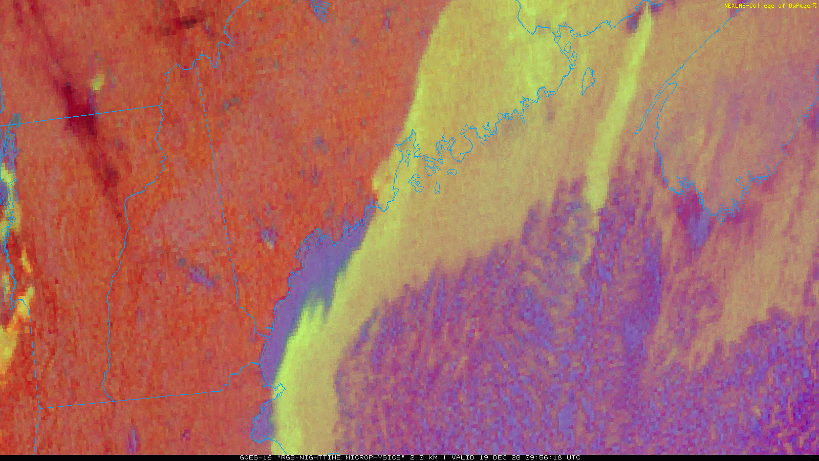
Today will feature cloudy skies and quiet weather as we sit near the edge of a few weak storm systems, mostly passing well off to our south. The big story of the morning is freezing fog which has been quite dense in spots. While fog is slowly lifting this morning, patches of low visibility and black ice will remain concerns for those out and about over the next several hours.
Fog will eventually lift later this morning but clouds of various varieties will drift overhead from time to time. Some spots could see sunshine for a little bit this morning but expect mid/high clouds to thicken up again this afternoon as the next system approaches Cape Cod. That one should remain far enough offshore to not bring precipitation to the region.
High temps today will be similar to what we saw yesterday, a few degrees below freezing in the interior and a few degrees above freezing along the coastal plain.
Today will feature warmer temps, cloudier skies, and some light precipitation as we welcome our next storm system into the area. Before rain and snow arrive this afternoon, expect clouds to finish overspreading the region from the southwest over the next couple hours as calm and cold conditions give way to light southerly breezes and rising temps.
By 1PM, the time at which this forecast map is valid, most spots should be seeing overcast skies with temps a few degrees on either side of freezing. Precipitation will arrive in SW NH shortly after 1 PM before spreading northeast into Maine later in the afternoon.
The map below shows expected conditions at 6 PM when the steadiest precipitation will be impacting the area.
This system is disorganized so we’re not expecting much if any precipitation to be heavy, but as a little “mesolow” spins up east of Portland, bands of moderate to perhaps even heavy snow may briefly impact the coastal plain. The immediate coast seems likely to be just a smidge too warm for accumulating snow, but if you’re anywhere north of Route 1 along the Midcoast or west of 295/95, expect this one to be mostly snow (I believe the model shown above is probably a smidge too warm on the margins based on current temperature data).
Here’s a look at how much snow to expect this evening. Most spots won’t see more than an inch, but the best shot at 1-3″ looks to be from near Windham to Lewiston to Augusta and points northeast. Though a few bursts of snow may be heavy this evening, this isn’t a significant event. Just take it slow and keep an eye out for slick spots if you’re driving when the snow is falling.
Right along the coast, it looks like temps will be just a smidge too warm for snow, but as always there’s a bit of uncertainty in the exact rain/snow line. Thankfully it’s only an inch or two instead of a foot or two of snow at stake this time!
Today will feature cool temps and clear skies as high pressure moves overhead. After starting a few degrees on either side of zero this morning, temperatures will warm up a little above yesterday’s highs by this afternoon. Northern spots will be lucky to hit 20-25 while far southeastern NH may make a run at 32.
This satellite loop shows clear skies over the region this morning with one neat exception” some lake effect downwind of Sebago Lake. Usually, Sebago is either too small or too frozen to support lake effect clouds. The ingredients have come together today because we have cold air while the lake is still open, and light NNW winds oriented parallel to the lake’s major axis (long side) allow air parcels an unusually long time over water to pick up heat and moisture. I’m not sure if these clouds are deep enough to produce any snow, but if someone happens to be heading down Rt 25 west of Windham this morning, I’d be really curious to know!
Anyways, aside from those couple square miles our skies are clear this morning and will remain so until cirrus arrives from the west this afternoon ahead of our next (weak) storm slated to arrive tomorrow with some light snow.