
Hello everyone!
A weak storm system will approach the region from the southwest today and will bring widespread cloud cover and precipitation with it. The system is relatively weak, so precipitation is expected to remain light/moderate today with the exception of some brief and localized heavier bursts possible later this evening.
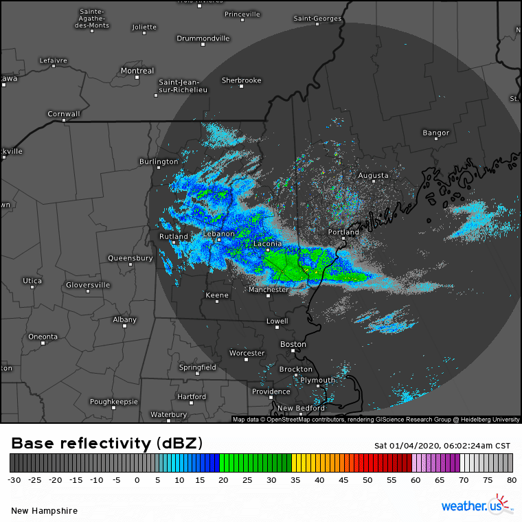
Radar imagery shows a band of precipitation extending from Portland into central NH this morning. While radar imagery suggests that this band is fairly heavy, a look at more advanced radar products shows that this is actually a case of “bright banding” where melting snowflakes clump together and trick the radar into thinking it’s raining/snowing harder than it actually is. Portland reported light rain as of 9 AM.

Dew point observations give us a good clue as to where rain/snow/mix lines will set up today. Over the mountains and foothills where temps are in the low/mid 30’s and dew points are around 30, snow is the most likely form of precipitation. Along much of the coastal plain and central/SW NH, dew points are just a hair above freezing with temps in the mid 30’s which means that light precipitation will fall as rain, but if any heavier bursts are able to develop, they will probably hit the ground as snow. Along the peninsulas of the Midcoast and the NH Seacoast, dew points are well into the mid/upper 30’s so plain rain is expected.

Here’s a look at forecast model guidance thoughts on precipitation/precip type today and tonight. The initial batch of light rain/snow we’re watching this morning will likely fizzle out midday before steadier precip redevelops over northern/central areas this afternoon. While I’m not sure the coast stays quite as dry as this model seems to think, precipitation will certainly be lighter/spottier over southern regions. Steadier and slightly heavier snow will develop later tonight as a coastal storm begins to intensify to our south.

Unfortunately for those of us wanting a good old fashioned coastal snowstorm, this system won’t reach its peak intensity until it nears Newfoundland in a few days.
Our next chance for a substantial winter storm arrives Wednesday though rain may fall along the coast.
Speaking of snowstorms, in case you missed yesterday’s retrospective look at the pre-New Year’s snow event, you can find it by clicking this link.
-Jack
