
Hello everyone!
A cold front will approach the region today which means that showers and thunderstorms will become more widespread this afternoon. A few showers and storms leftover from activity in NY yesterday are moving into Vermont this morning, and may drop some rain in western NH over the next couple hours. The main round of showers and storms will arrive later in the day, beginning around 12-1 PM in Central NH before moving into Maine during the mid-afternoon hours.
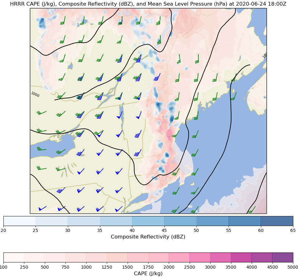
Uncertainty surrounding the coverage and intensity of this afternoon’s storms primarily revolves around how much sunshine we’ll be able to get this morning. Most of the region is socked in with dense fog as of 5:30 AM which is far from conducive for thunderstorms. To get widespread storms that might have a risk of severe weather, we’ll need some sunshine. The mountains and foothills will see sunshine first this morning, so they have the best shot at more widespread thunderstorms. Temps there will range from 75 in the north to 85 in south-central NH. Closer to the coastline, fog will linger later into the afternoon and will hold temps to the upper 60s near Penobscot Bay and upper 70s along the coast near Portland.
Some of the stronger storms in the northern part of the region could produce a few damaging wind gusts, but overall the risk of severe weather today is low.
Showers and storms will fade this evening as the sun goes down and daytime heating is lost.
-Jack
