Hello everyone!
Cool temps and unsettled weather will be the story of today as warm air begins the process of dislodging the Canadian airmass that moved in yesterday. The first consequence of that process is abundant cloud cover which is already in place across the area. The second consequence is light precipitation which has begun to fall over northern parts of the area this morning. The robust cold airmass in place across the region currently is supportive of snow which will be the dominant precipitation type this morning.

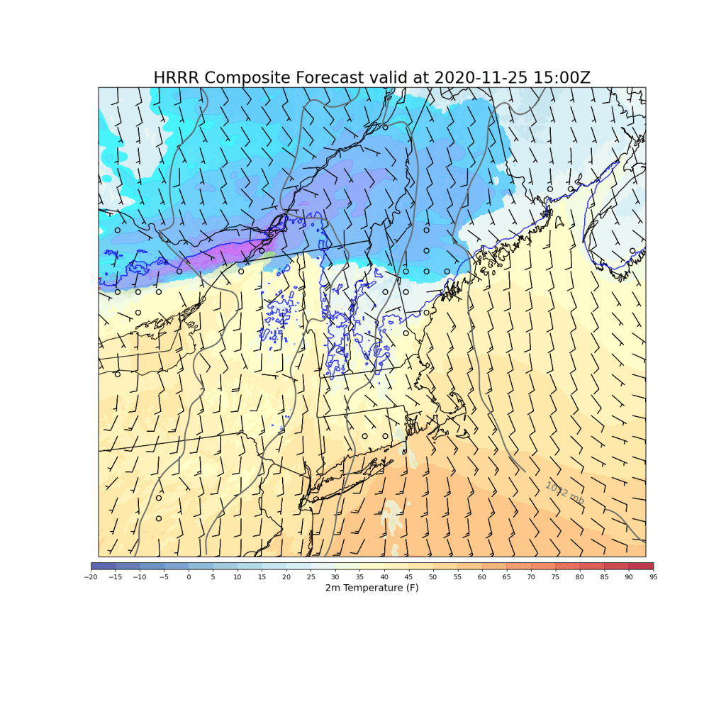
This forecast map gives a pretty good idea of who will see the most persistent snow this morning: areas north of a Fryeburg-Richmond-Camden line. South of that, there’s just not enough upper-level support. The steadiest and heaviest (moderate vs light) snow will be found up in the mountains where upper-level support is maximized.
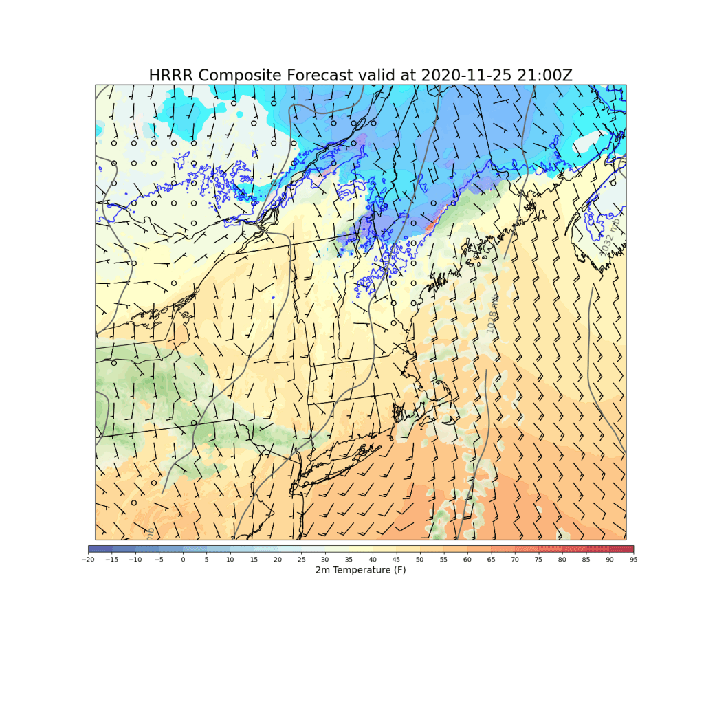
Morning snow will taper off and change to rain south of Route 2 by this afternoon as winds shift around to the south and warm air continues pushing into the region.

Up in the mountains, this renewed push of warm air will keep the snow going as cold air remains better-entrenched near the high terrain.
The colder temps and longer duration of precipitation/snow mean that parts of the mountains could pick up 2-4″ of snow today. 1-3″ is more likely in the foothills with a coating-2″ along the coastal plain north of Portland. York County and southern NH may not even see a single flake as low-level dry air evaporates whatever flurries are forming aloft.
High temps today will range from 30 up in the mountains to 40 near Portsmouth NH and perhaps also Rockland ME.
For those planning ahead to potential outdoor gatherings tomorrow, the forecast sadly isn’t looking great. A storm currently moving through Missouri will provide steady cold rain along the coast and a messy mix of cold rain and freezing rain inland.
-Jack
