
Hello everyone!
Today will feature cool temps and generally calm conditions as a strong area of high pressure passes overhead. High temps will range from around 30 in the north to around 40 in SE NH, while skies will remain more or less sunny. The best chance for some clouds will be this afternoon in SW ME and adjacent parts of southern NH.
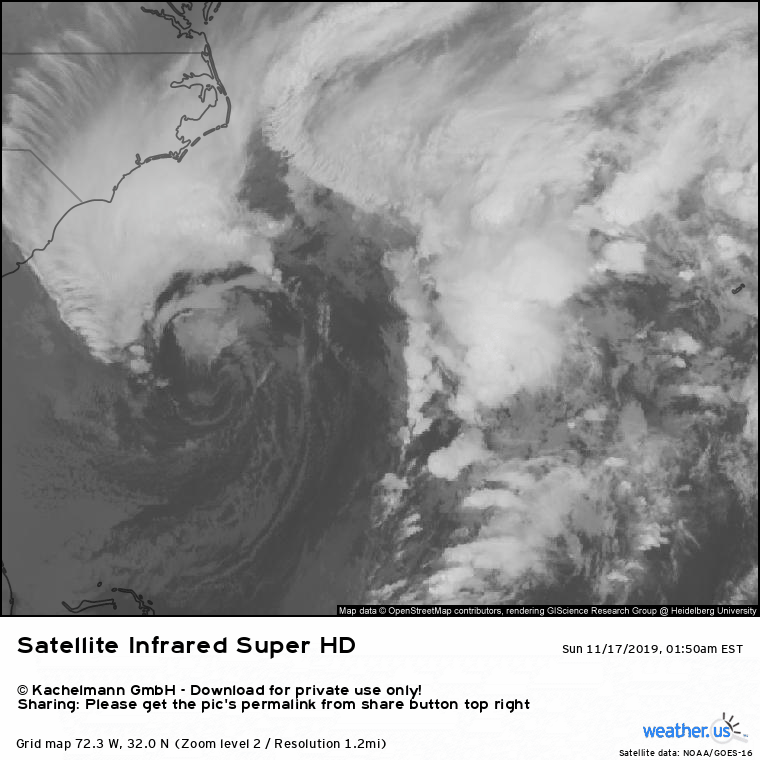
Those clouds will be moving north from a powerful ocean storm currently located east of South Carolina. I’ve included a little satellite loop of the system above, as it has a pretty neat almost-symmetric core. That storm will weaken as it moves our way tomorrow, but it does look to set up a bit of a freezing rain event for tomorrow night into Tuesday. At this time, I don’t think we’ll see enough ice accumulation for widespread power outages, but roads will certainly be slick and I can’t rule out a few outages especially farther inland.
More details on that storm will come this time tomorrow. In the meantime, enjoy the nice weather today!
-Jack
