
Hello everyone!
Today will feature the arrival of a messy storm system as two disturbances approach our area from the south and west. The first is a coastal storm that was spinning off the North Carolina coast this weekend, and the second is a cold front moving east from the Plains. These systems won’t be able to join forces until they both move into the Canadian Maritimes, so this won’t be a major storm but it will be mildly irritating.
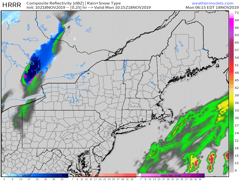
Temperatures this morning generally fall somewhere between 20 and 30, with the exception of the Midcoast and SE NH. That means that any light precip that falls over the next few hours will fall as freezing rain/drizzle given warm air aloft. As a result, be sure to keep an eye out for slick spots on your way into work this morning.
Steadier precip moves into the region from SE to NW this afternoon, beginning along the coast between 1 and 2. By this time, temps will have warmed above freezing for most of us outside the foothills/mountains. As a result, expect plain rain unless you’re in the mountains, where sleet and freezing rain will fall, or cold pockets in the foothills where freezing rain will continue. Rain will fall steadily through most of the evening before tapering off later tonight. Another round of steady precip will fall as either rain or snow tomorrow morning as the second storm moves through.
High temps today will range from 25 in the north to 35 along the coastal plain. Yep it’s really gonna be 35 and raining, and if that wasn’t unpleasant enough, NE winds will be gusting between 20 and 30 mph especially closer to the coast. These NE winds will pile ocean water up along the coast south of Portland, where minor coastal flooding is possible.
-Jack
