
Hello everyone!
Today will feature another round of showers and thunderstorms as a cold front swings into the region from Canada. Before those showers and storms begin developing this afternoon, we’ll be working on slowly burning off the layer of fog/stratus currently in place over the southeastern half of the area.
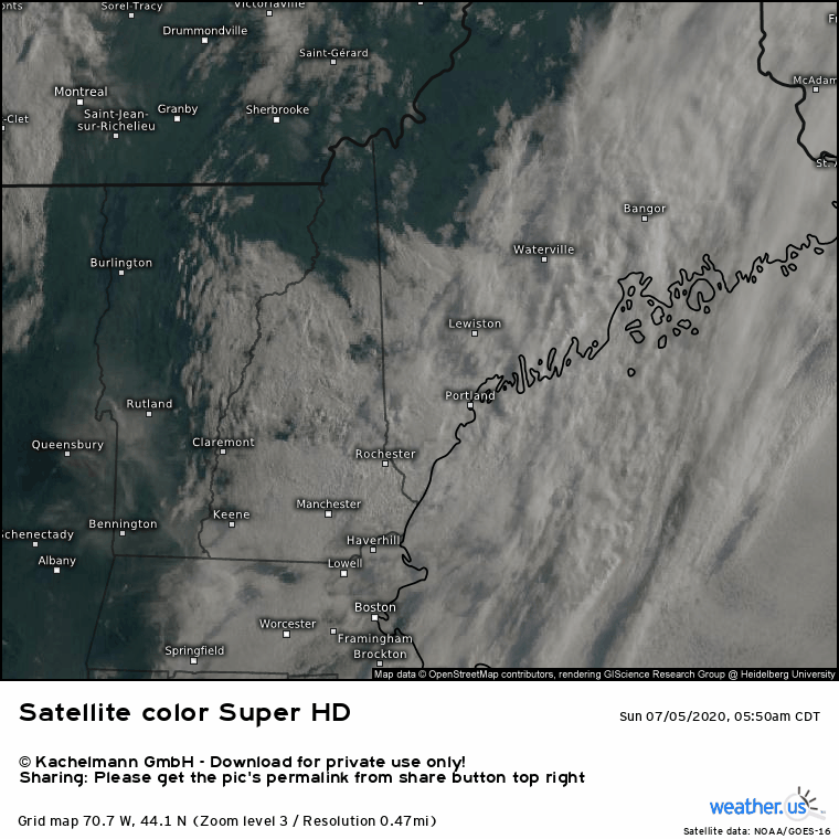
Satellite imagery shows slow progress being made towards clearing this morning. I think the fog/stratus layer will retreat to roughly the I-95 corridor by early/mid afternoon before getting stuck. So it’ll be another cloudy day along the coastline while inland areas should see at least a few hours of sunshine.
For those that do see sunshine today, temps will rise into the low/mid 80s. A few upper 80s are possible in southwestern NH. This warmth, combined with plenty of moisture left over from this morning’s marine layer will support thunderstorm development when a cold front arrives later this afternoon.

This forecast map shows several storms popping up in the mountains around 3-4 PM in a region of robust instability (but relatively light wind shear). Storms are likely to be more numerous as you head farther northeast where better forcing for ascent will be found. Storms that develop in the mountains in the mid/late afternoon will move southeast during the early evening, bringing heavy rain, lightning, and gusty winds to parts of the foothills. As these storms approach the coast, they will encounter a cooler airmass produced by the lack of direct sunlight under the marine stratus deck. As a result, storms will weaken quickly and no severe weather is expected (heavy rain and lightning still possible).
Temps along the coastline will top out in the upper 60s (near Rockland) to mid 70s (closer to Portland).
Showers and storms will remain in the mix for the first half of tonight as remnant storms move into the region from northern NY/VT. None of these are likely to be severe based on currently available information.
-Jack
