
Hello everyone!
Today will feature another round of showers and thunderstorms as yet another upper-level disturbance pivots through the region.
Skies this morning range from partly cloudy across parts of Maine and far southern NH to overcast with heavy thunderstorms over parts of central NH. The storms in NH this morning are quite impressive and pose a serious flash flooding threat especially just west and southwest of Conway.

Satellite imagery is quite impressive for the early-morning hours here in New England. We don’t often get enough instability so early in the day to support such strong thunderstorms. I suspect we’ll see these particular storms begin to weaken a bit over the next couple hours while the atmosphere “recharges” in preparation for another round of storms to develop during the late morning hours.

By 1 PM, storms will be widespread across inland parts of the area and will even begin to develop along the sea breeze boundary near the coastline. Storms this afternoon will be capable of producing strong winds, heavy rain, and frequent lightning. A few small hailstones can’t be totally ruled out either.
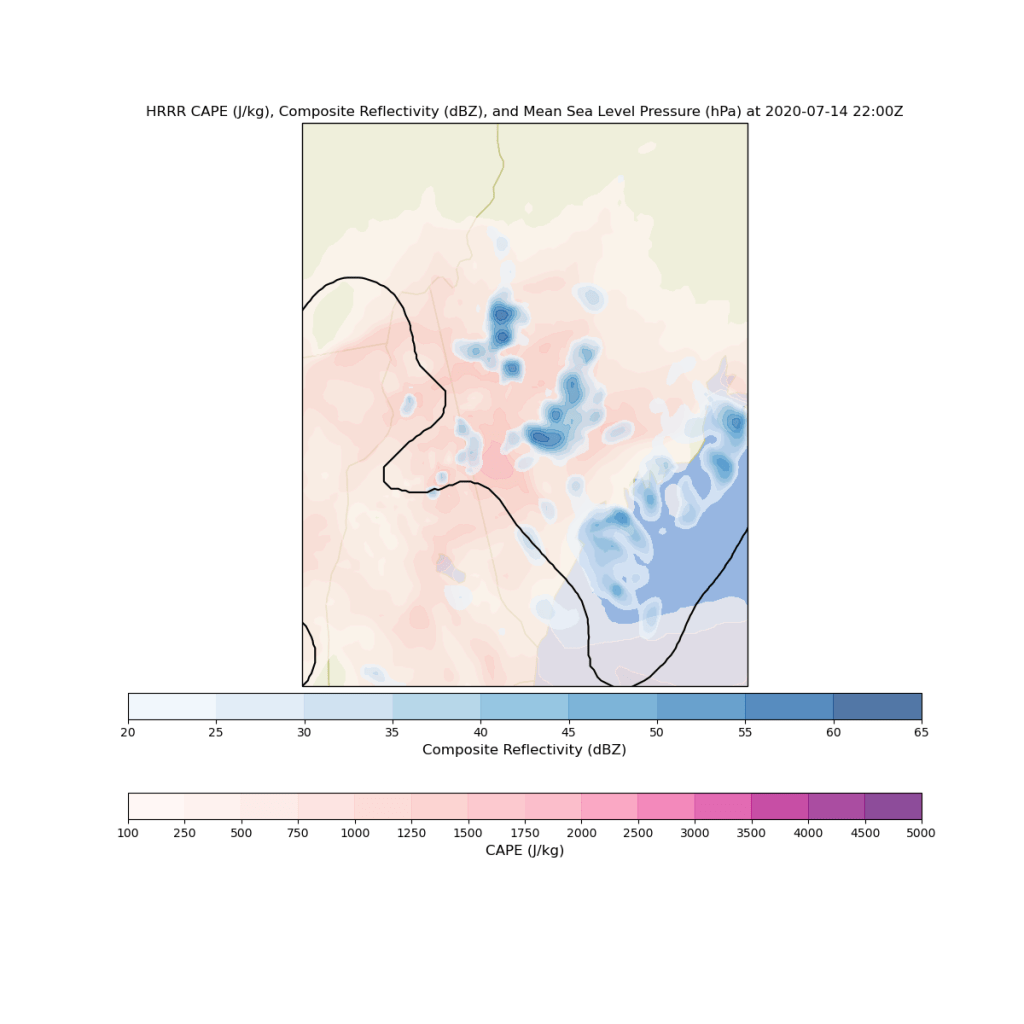
By 6 PM, we still won’t have exhausted all the energy available in the atmosphere to support storms, at least according to current forecasts (I have some doubts given the southeastward advance of a low cloud deck from Downeast Maine this morning, but we’ll see if that can burn off). Some parts of the foothills will see two or three rounds of thunderstorm activity today. Those spots that do get hit repeatedly will have to worry about flash flooding given the amount of moisture we have to work with today.
Showers and storms will eventually subside around sunset.

Widespread cloud cover and repeated rounds of thunderstorm activity will keep high temps in check today. The mountains might not even crack 70 while most of the coastal plain and southern NH rise slowly into the mid/upper 70s. With dew points still stuck in the 60-65 range, it will still feel humid despite the cooler temps.
-Jack
