
Hello everyone!
Today’s weather across New England will look a lot like yesterday’s as the upper-level low responsible for our periodic rounds of rain remains stuck overhead. As of 5:15 AM, most of the region is socked in with either low clouds (inland/mountains) or fog (coastal plain). That will gradually change as we move later into the afternoon when breaks of sun are expected to pop up. These patches of sunshine won’t last all that long as instability increases and another round of showers/storms develops.
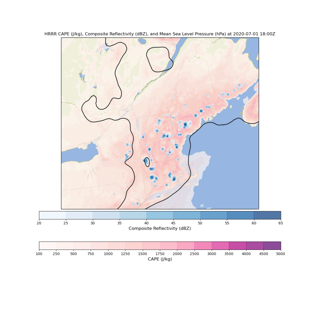
Just like yesterday, showers and storms won’t be distributed equally around the entire area. Some towns will get over an inch of rain from a slow-moving thunderstorm and the next towns over might not even see a drop. The most widespread showers/storms will once again be away from the coastline. Just like the past few days, the primary threats from showers and storms today are lightning and heavy rain. Upper-level winds aren’t strong enough to support much of a severe weather threat.
High temps today will remain on the cooler side, ranging from 70 in the northern mountains to 75 in the foothills.
-Jack
